Using drones to produce data
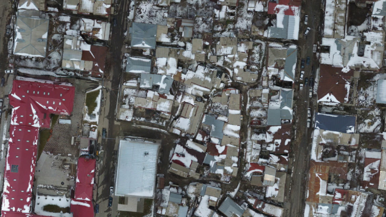
This orthophoto was created in the scope of the Gyumri Project Hope initiative. A detailed aerial view was needed to collect data on histoic buildings in the Gyumri Kumayri District and create a GIS database to store the information. The images were shot with a DJI Phantom 3 Professional and orthorectified with software. The results were very satisfying.